Surveying
Topographic Surveys
Accurate, detailed mapping of your site's elevations, contours, and existing features to give engineers, architects, and planners the foundation they need.
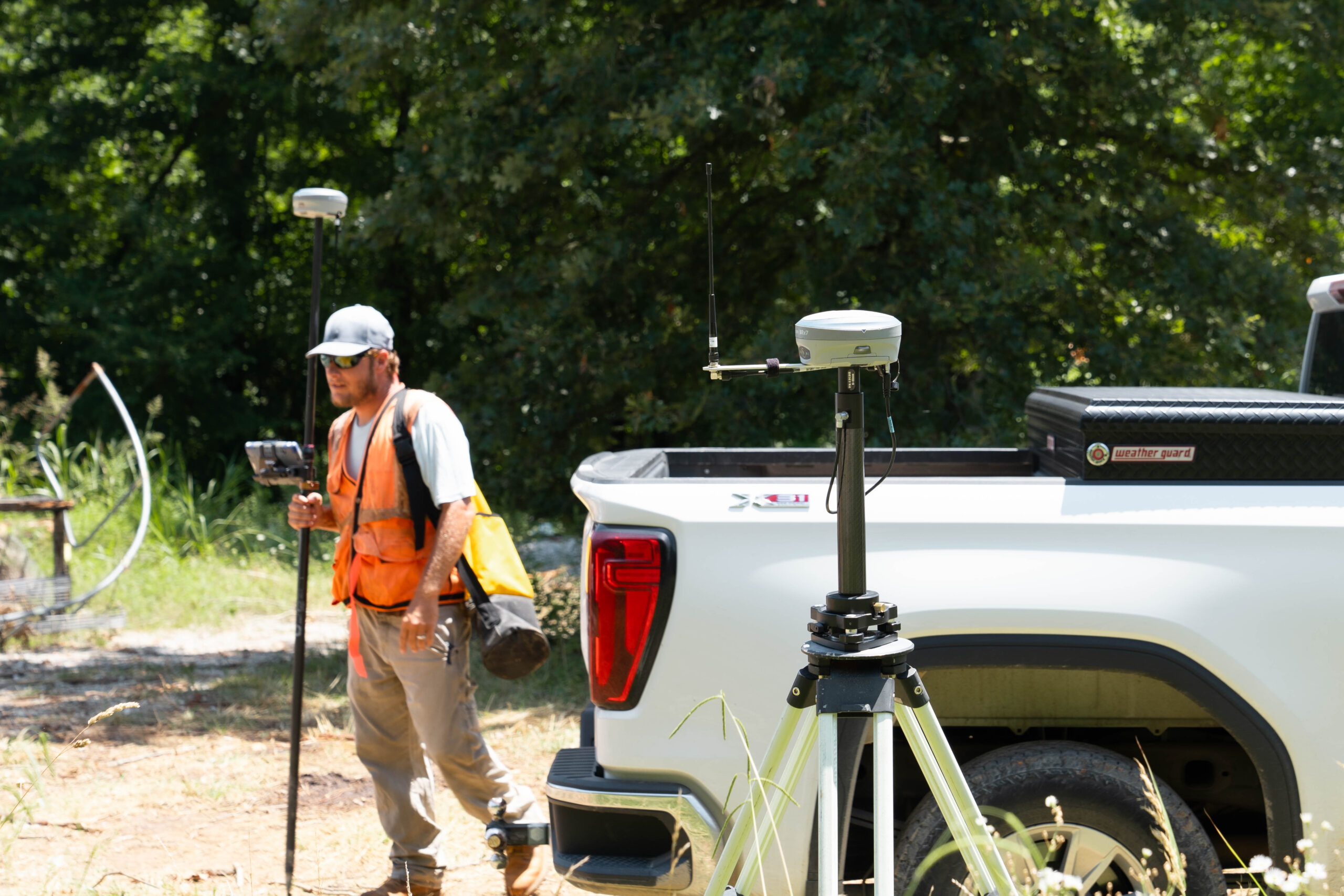
A topographic survey captures the three-dimensional shape of a property, documenting natural and man-made features along with precise elevation data. Our crews measure ground contours, slopes, drainage patterns, utilities, structures, and other improvements, then deliver a clear topographic map that becomes the basis for site design, grading, drainage analysis, and permitting.
Blew & Associates combines field-proven survey methods with modern instrumentation to produce reliable deliverables for civil engineering, land development, construction, and environmental projects. Whether you are designing a new building, planning a roadway, or evaluating a site for development, our topographic surveys give your team the dependable data they need to move forward with confidence.
What's Included
- Existing ground elevations and contour mapping
- Spot elevations at critical site features
- Location of buildings, pavement, and other improvements
- Visible and locatable utilities and surface features
- Drainage features, ditches, and water bodies
- Trees, vegetation lines, and natural features
- Site benchmarks and established control points
- CAD-ready deliverables for design and engineering
Our Work