Surveying
Renewable Energy Surveys
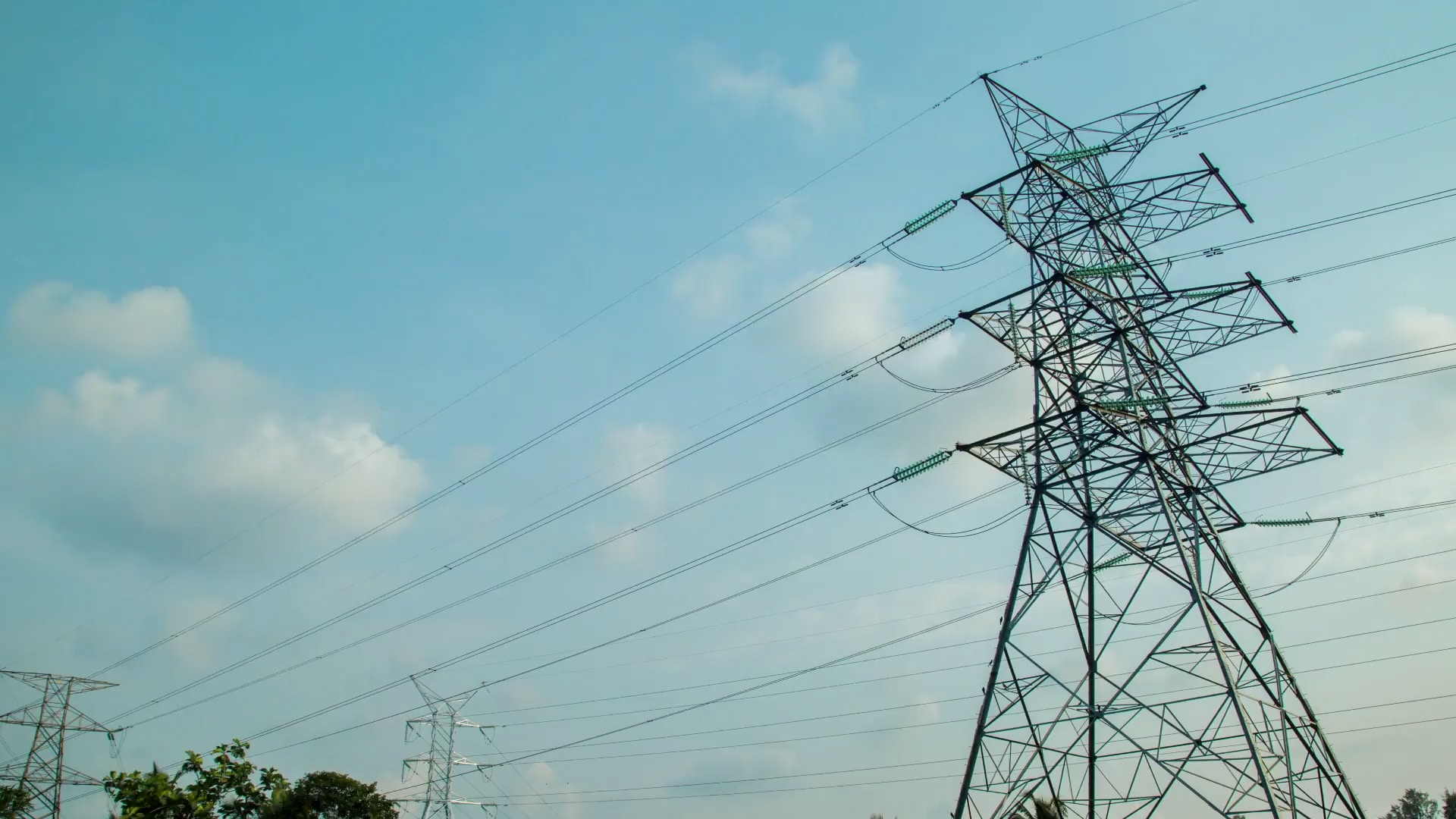
Blew's survey department offers the comprehensive data and design support that power transmission projects need, from preliminary survey through construction.
Electricity consumption is projected to grow slowly and steadily as energy efficiency and reduction become more mainstream. Nevertheless, electricity prices are anticipated to increase as some utility companies receive permission to set competitive retail rates, which will likely benefit industry revenue. The growing demand for renewable energy mixed with rising infrastructural investments across the industrial and commercial sectors will positively influence the industry’s landscape.
With aging transmission infrastructure slowly deteriorating, the United States has seen minimal investment over the last 40 years on upgrades and new builds. Gathering and compiling information on the features and uses of the land within a proposed corridor provides the basis for selecting a route, obtaining easements, and designing and constructing a power transmission line. Blew recognizes the need for new design and rebuilding of our infrastructure, and we can help support the industry with our expertise and knowledge in the design phase.
We Have the Experience Your Project Needs. Blew’s survey department has extensive experience in the power transmission market, and we offer everything needed in the preliminary design survey. We understand the data required to design transmission lines, whether it is a greenfield project, a re-conductor project, or a new design paralleling or replacing an existing line.
Our strategy is to provide designers and utilities with the most comprehensive assessment of available information, streamlining the CADD mapping process. We can help with the planning stages early on to establish the best possible route for the proposed corridor.
What's Included
- LiDAR and aerial mapping to collect the necessary data
- Ground-based field crews to capture critical design data, including underground utilities and overhead crossings
- Ground Penetrating Radar (GPR) services when needed
- Feature codes in PLS-CADD format or a standard utility-requested format
- Topographical and rectified color imagery mapping with contours in 1', 2', or 5' intervals
- Easement and plat creation to assist design
- Preliminary utility crossing matrix upon request
- Construction staking services
- ALTA/NSPS Land Title Surveys for project financing stages
Our Work