Surveying
Drone and Aircraft Aerial Imagery
Adding an aerial image to your project can make a world of difference, giving you a clearer understanding of site conditions, features, and obstacles.
Adding an aerial image to your project will not only give you a better understanding of the physical location of certain features but will allow you to see the conditions of certain areas and a better reference for some of the obstacles that may be present.
Why use aerial drone imaging instead of Google Earth?
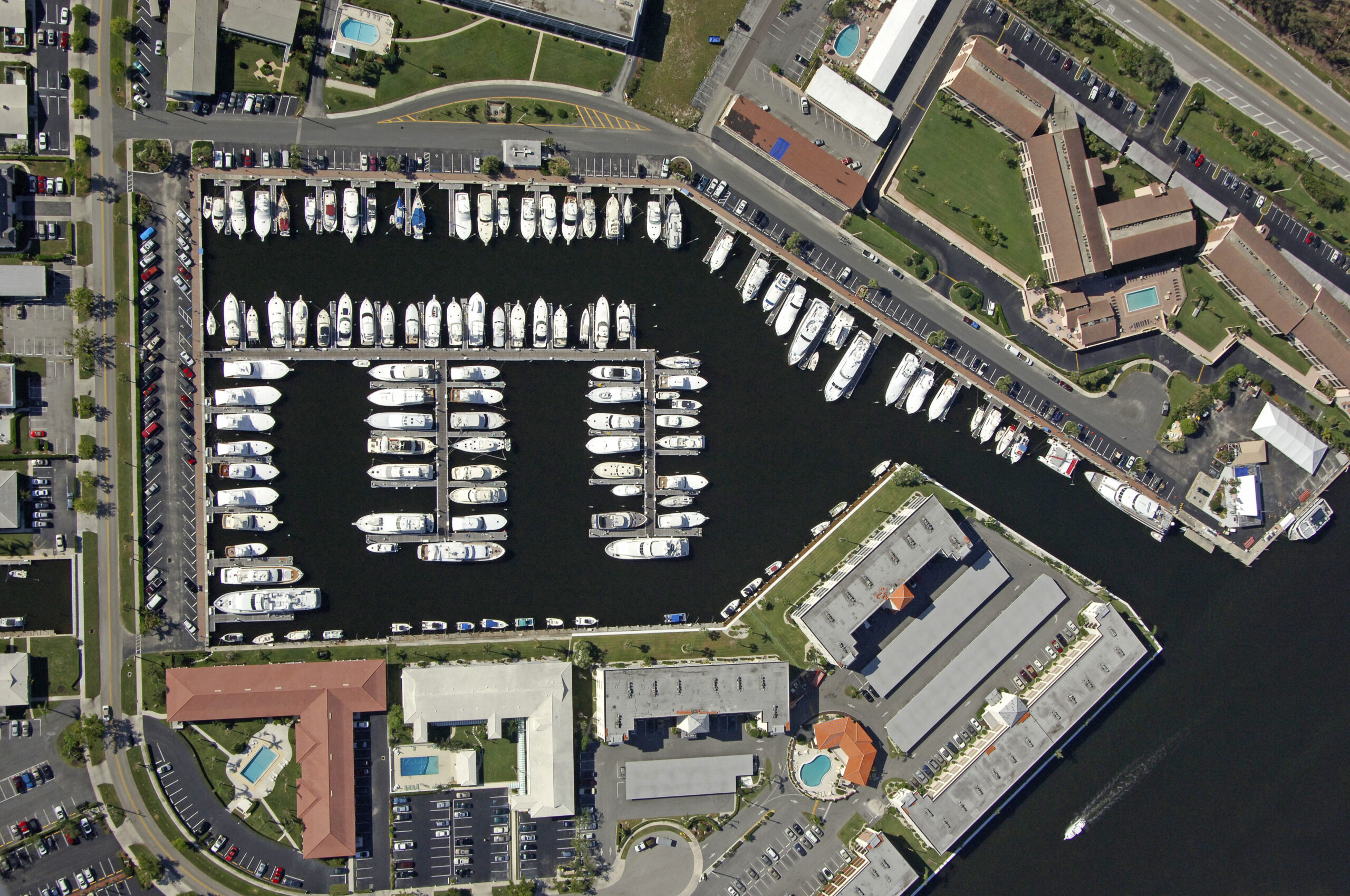
There are a few reasons, the most prominent being accuracy. Even though Google imaging may seem up to date at first glance, the images on average are 1 to 3 years old with some being much older. Because of this, many site features have typically changed since the last image was taken and would misrepresent the site if used. The second reason is quality. While Google may have very high-quality cameras, they use an array of methods to collect images from drones all the way up to satellites, with the lowest images taken at 800 feet above the surface. While this sort of imagery is fine for getting a general feel for an area, it does not allow you to see the details of a project area and may become distorted when used for a smaller site.
Google Earth vs. Drone Imaging
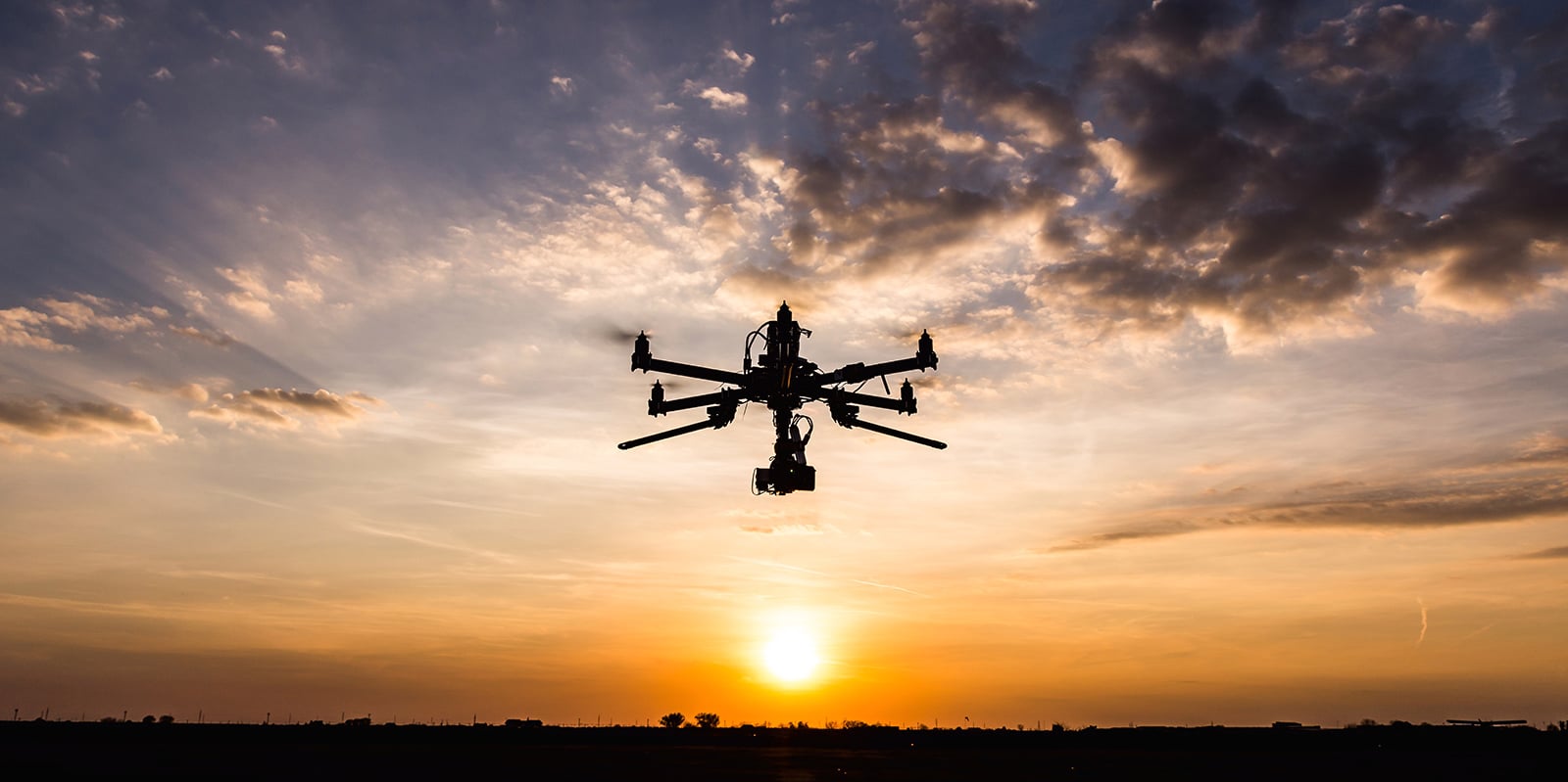
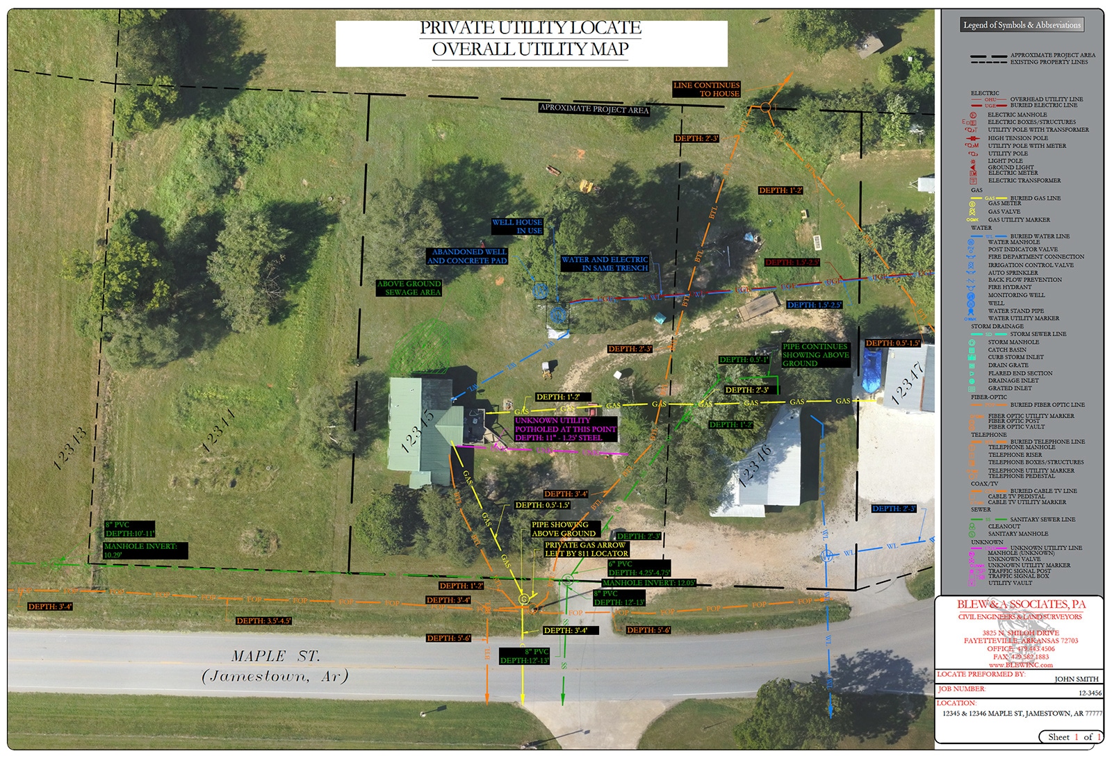
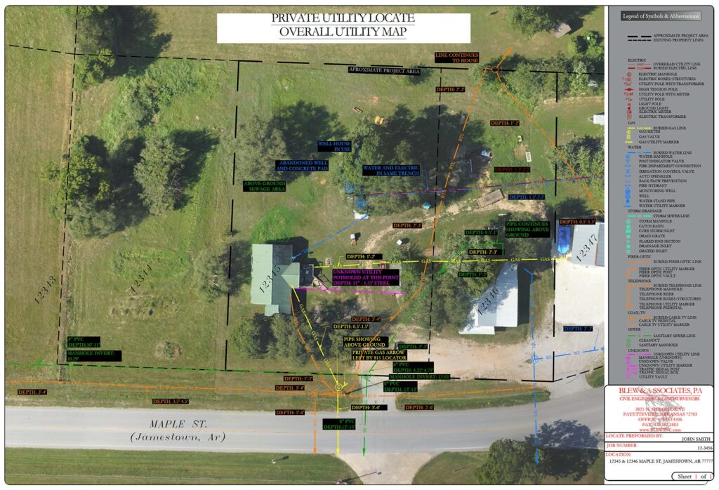
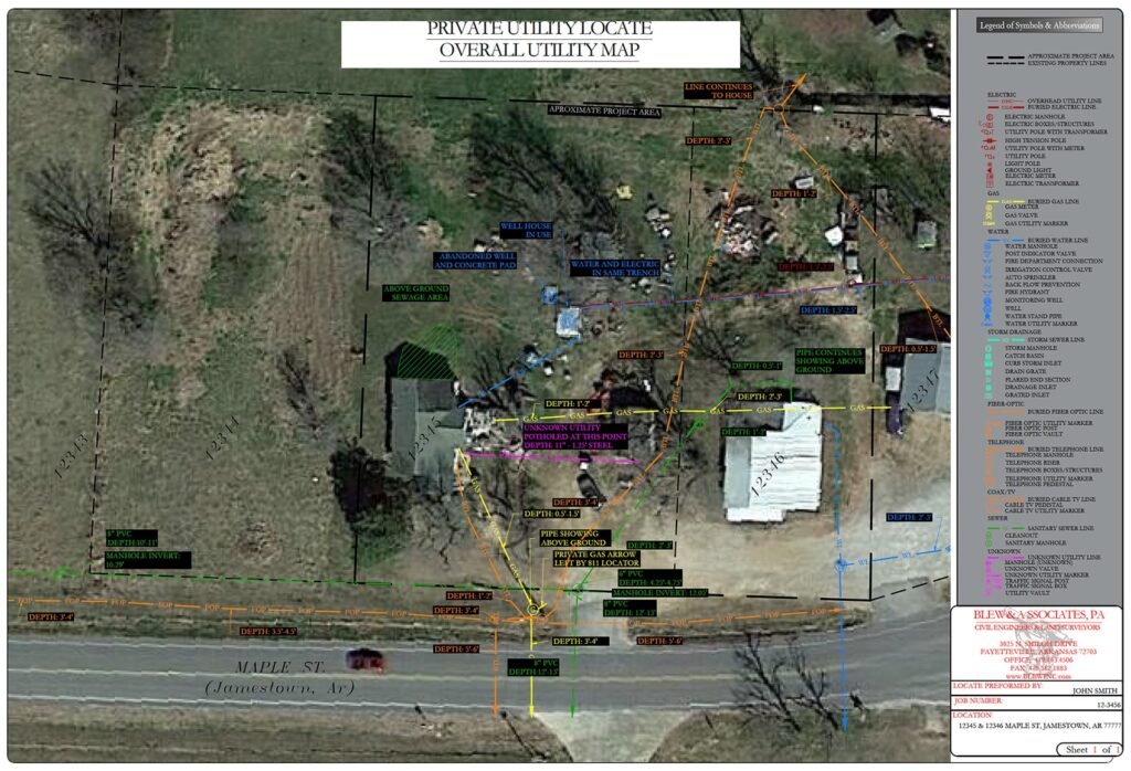
To provide the best possible results, we recommend adding a new and accurate aerial image to your project with one of our low-altitude 4K HDR drone flights. This will not only give you a high-resolution background image but will show you the true conditions of the site during our field visit. This image can then be used in many of our Survey, Engineering, and Private Utility Locate deliverables to give you the best possible results.
Structural Inspections
Although our drones are ideal for aerial imaging, our skilled pilots and high-quality imaging equipment can do much more. Our equipment and team create a cost-effective and safe environment for telecommunications tower and windmill inspections by keeping the climber on the ground and collecting still images, video, and 3D modeling.
See the Difference
 Satellite
Blew Drone
Satellite
Blew Drone
Inspection Data Uses
- Pre and post construction analysis
- Line of sight verification
- Structural mapping
- Asset location
- Real-estate review on new construction
- Live video audits
Our Work